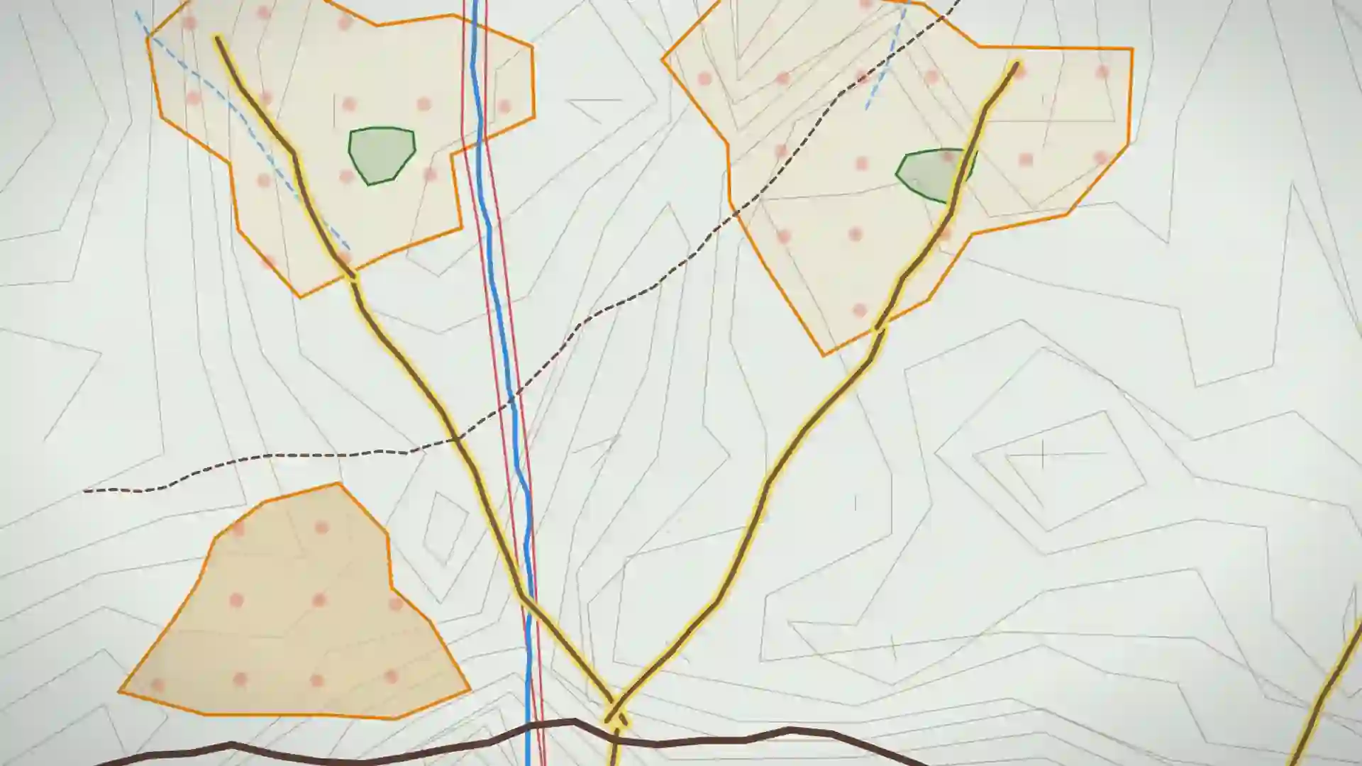
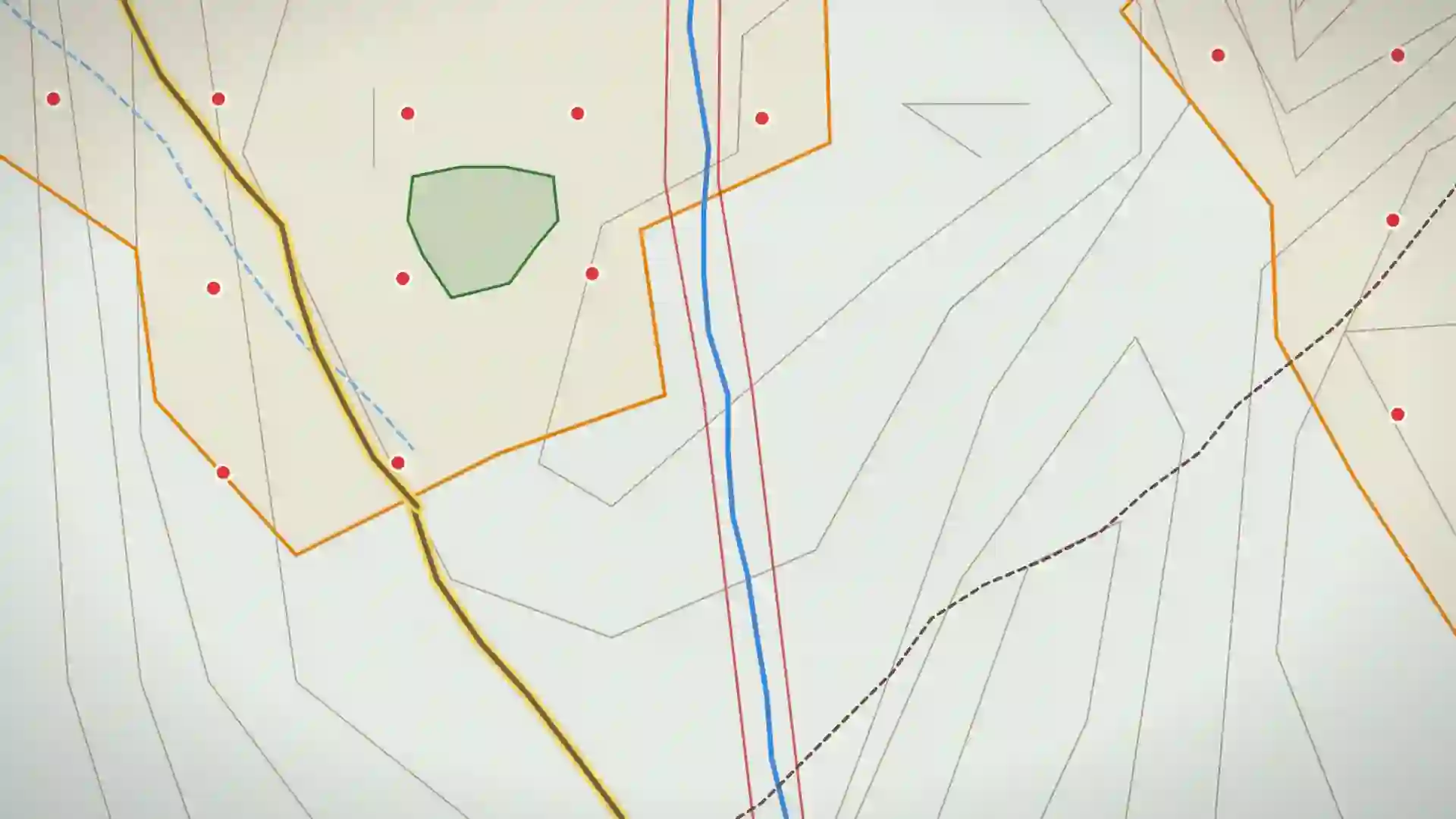
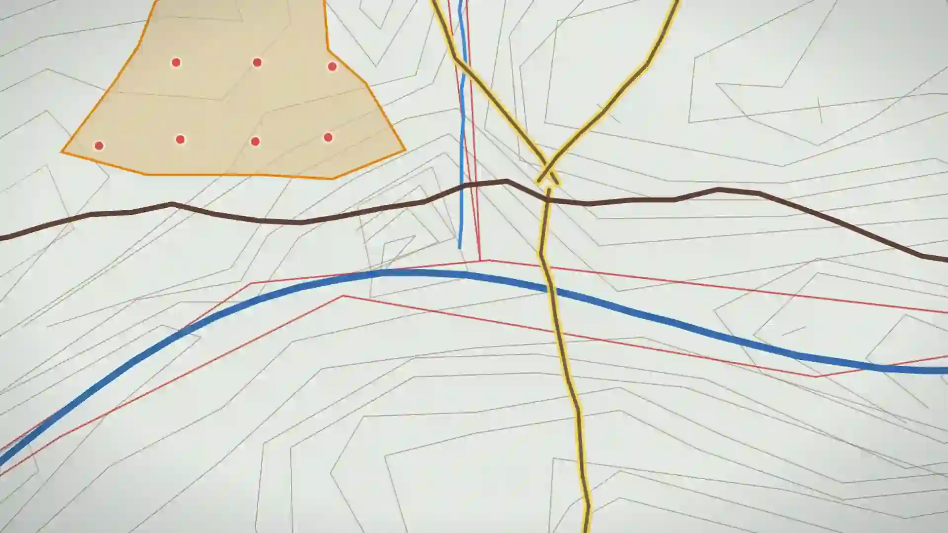
The map keeps working where the signal doesn't.
A planning unit, clipped to the quarter and carried onto the block. No login in the bush, no licence server, no spinner over the one thing you came to look at.
Watch the bars go.
Every forestry app that checks a licence on open is one dead tower away from a blank screen. Blockline never asks: the bundle, the dictionary and the buffer table are already on the phone.
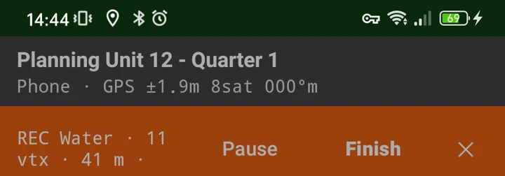
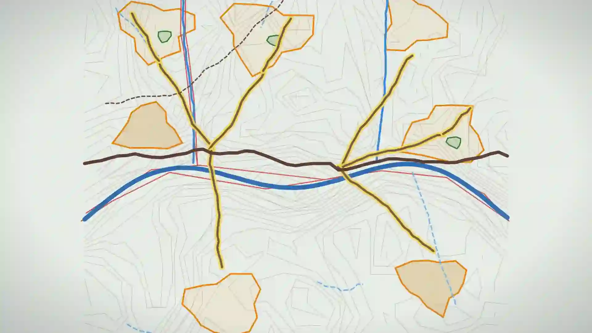
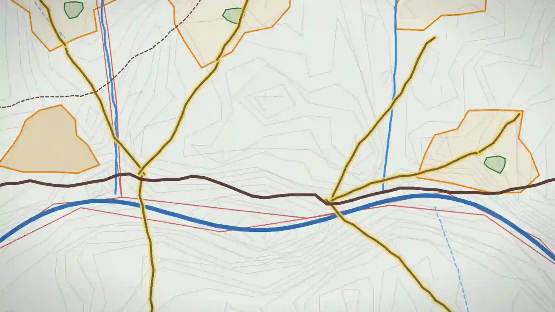
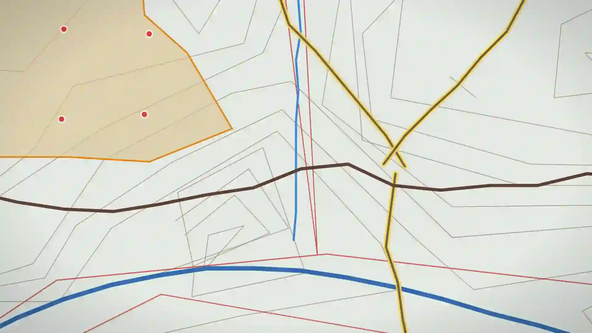
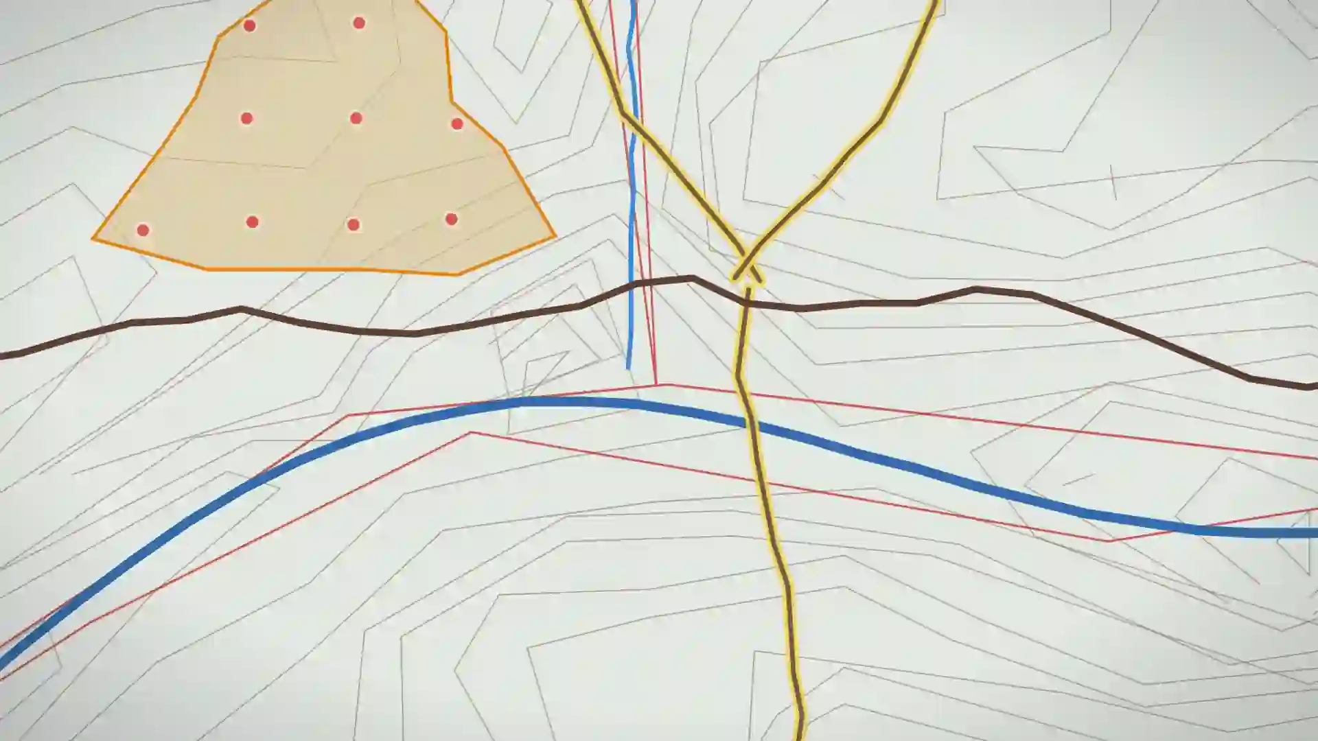
Stream the creek. Stop and measure it. The line never pauses.
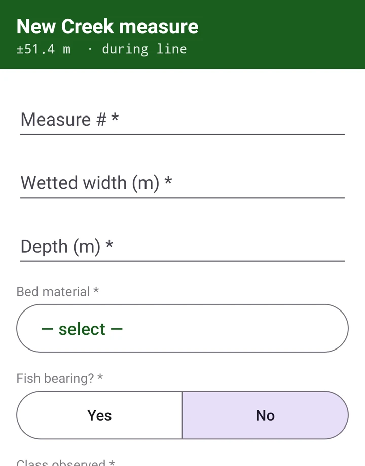
A vertex every three metres, with the receiver's own error ellipse as the accuracy ring. Above your threshold it refuses the vertex rather than quietly writing a bad one. Three times down this reach the crew stops and fills in a creek measure, wetted width, depth, bed material, fish bearing and the class they read off the channel, without the line ever pausing.
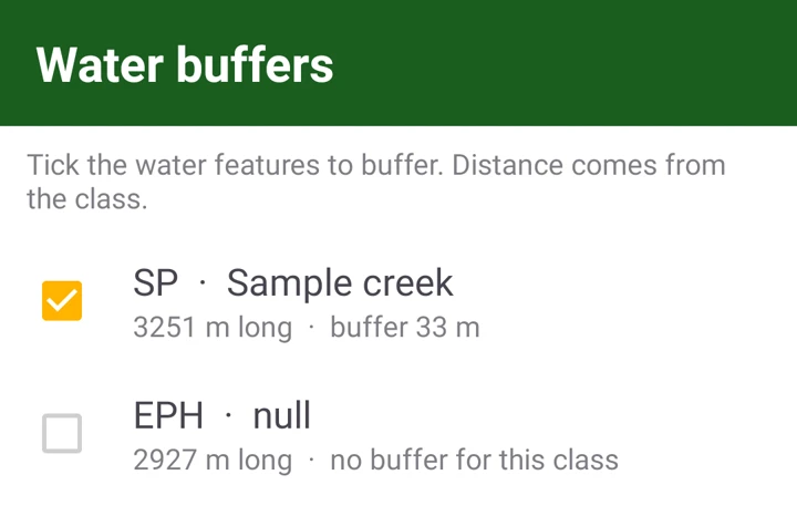
The buffer goes on the creek you just walked.
Those measurements class the reach SP, and the buffer for SP is 33 m. It is applied on the phone, from the buffer table that shipped inside the bundle, with the radio still showing no service. Tick a class and every stream of that class is buffered at once.
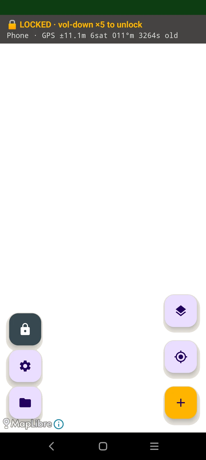
Lock the glass. Keep recording.
Rain on a capacitive screen types for you. Touch goes dead, Home and Recents do nothing, and the screen stays on, while the GNSS keeps streaming and the line keeps going down.
Every point knows what took it.
Receiver, fix type, satellite count, HDOP and the accuracy at the instant of capture, written onto the feature. A year later the plot can still answer for itself.
Two phones, one block, your own geodatabase.
We stand up the server, publish your first quarter from your gdb, pair your receivers, and walk a line with your crew. If it doesn't beat what you have, you owe us nothing.
Book a pilot